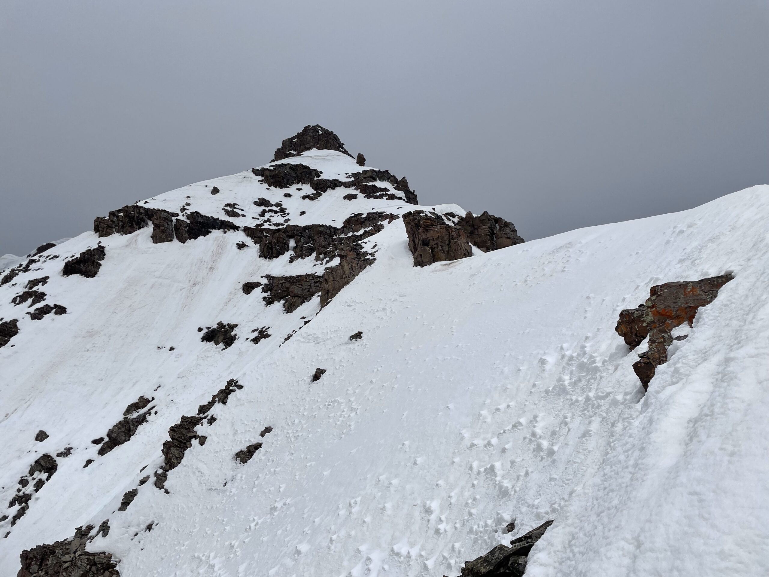
Climbed on September 5, 2023. Approach from Booth Creek TH, Exit via Harrigan Creek TH. There are several other published accounts of this route (because its frickin dope). I am writing this 9 months after I climbed it, so my recollection of route specifics is hazier than I’d like.
On September 4, I left the Booth Creek TH sometime mid-afternoon and hiked up towards West Partner Peak. I climbed its SW ridge to the summit, and then traversed Rockinghorse Ridge to Peak J, subsequently dropping towards Peak Q and sleeping on its SW ridge. I summited Peak Q’s West summit the next morning but couldn’t muster the gumption to go for the skeezy looking traverse to the main summit. After retracing my steps to my campsite I dropped into Upper Slate Creek.

From the high lake in Slate Creek Basin, I hiked down-basin, along the northern shores of South American Lake, and from its eastern end I began my ascent of Peak L. I climbed mostly large blocky talus to Peak L’s West ridge. A bit of nice scrambling brought me to Peak L’s knife edge, which had some nice exposure on its northern side but was composed solid rock with good foot placements. From the end of the knife edge it’s really only one final pitch to the summit. The rock quality on this last pitch was great and you can definitely choose your own adventure through the blocks. The line I chose up the parallel cracks near the bottom of the slab went at low 5th class, though easier options definitely exist. The summit is a wonderful little airy perch.


I had little wind, blistering sunshine, and the range seemingly to myself. It’s in moment’s like those where I wonder incredulously at how fortunate I am to be alive. Life’s so dope! I hung out on the summit for a while just enjoying life up high, then scrambled down L’s East ridge to a grassy saddle. There are a few high points between L and M, the stately Gore Thumb among them. I will refrain from going into detail about the route here for a few reasons, but largely because I don’t remember the specifics as well as I’d like, and because I don’t want to potentially spoil your adventure! It goes! If you are comfortable in this terrain and exercise good judgement, aware of your weaknesses and vulnerability, that’s all you need. As a mountaineer I’ve appreciated the mystery and vagueness that surrounds the Gore, and I am of the belief that you should be capable of complete self-sufficiency in the mountains, which requires both technical skill and conservative judgement. (Maybe I’ll read this in a few years and recognize the ways in which I fall short of my own requirements, but patience and conservatism will always be my friends).
ANYWAYS, I do remember that the rock quality was some of the best I’ve encountered in Colorado. I managed to tag each high point except for the tower immediately before Peak M, which seemed to require too exposed a climb up and down its southwestern side. I was also able to stay relatively close to ridge proper except for one descent. It may have been coming off of the Gore Thumb (I believe it was the second tower I come across, though I could be mistaken), but the direct descent would have required a rappel, and being solo without a rope I opted for a somewhat exposed low 5th class downclimb to the north and then contoured back to ridge proper. Here are some photos.


I think my phone died shortly after this. Not totally sure why, but I didn’t summit Peak M. I was probably already thinking to the heinous descent and hike out Slate Creek, and perhaps anxiety and the desire for comfort took over 🙂 A testament to not getting ahead of yourself! Oh well, gotta come back! Overall, despite not tagging the true summits of Peaks Q and M, I was pretty darn happy with the adventure. I made it to the Harrigan Creek TH sometime around 8 PM, and managed to hitch a ride to Silverthorne after a longer-than-usual amount of waiting (though I can’t blame people too much for not wanting to pick up some dirty looking dude at night!).
Placing faith in myself to complete these solo objectives is pretty rewarding, and to get to play in this ultimate alpine playground during the heavenly season of early fall was bliss (at times, at others not so much: thus is alpinism!) This was my first summer in the Gore, and it opened my eyes to the alpine potential in the area. It amazes me how relatively empty the range seems, but I guess the lack of 14ers and relatively technical terrain keeps the masses away. Cool beans, I say.
